
Fort Wayne ZIP Coverage
The official city ZIP map labels the main 468xx zones that overlap Fort Wayne. It is a geographic planning reference, not a promise that every point inside a shaded area has a Fort Wayne mailing city. USPS remains the authority for a current deliverable address. The map and research inventory identify these principal zones:
| ZIP | Areas Covered | Postal Label | Research Note |
|---|---|---|---|
| 46802 | Downtown and near west/south areas | Fort Wayne | Core city zone |
| 46803 | East-central Fort Wayne | Fort Wayne | Compare city limit at edges |
| 46804 | Southwest side | Fort Wayne | Suburban edge conditions |
| 46805 | Northeast of downtown | Fort Wayne | Older neighborhood addresses |
| 46806 | Southeast side | Fort Wayne | Multiple neighborhood areas |
| 46807 | South-central neighborhoods | Fort Wayne | Historic street context |
| 46808 | Northwest of downtown | Fort Wayne | Industrial and residential mix |
| 46809 | Southwest airport side | Fort Wayne | Jurisdiction check advised |
| 46815 | East and northeast areas | Fort Wayne | Broad postal zone |
| 46816 | Southeast edge | Fort Wayne | Check incorporated boundary |
| 46818 | Northwest side | Fort Wayne | City and county context |
| 46819 | South side | Fort Wayne | Airport-area geography |
| 46825 | North side | Fort Wayne | Neighborhoods span the zone |
| 46835 | Northeast side | Fort Wayne | City edge varies |
| 46845 | Far north area | Fort Wayne | Postal and city lines differ |
The table is a working coverage index. Confirm a precise address through USPS ZIP Code Lookup. When legal jurisdiction matters, also inspect the city-limit or annexation layer and the parcel's jurisdiction.
Verify a Fort Wayne ZIP
A reliable ZIP search keeps four kinds of geography separate. Postal data answers delivery. The Fort Wayne map offers a city planning view. Census ZCTAs approximate ZIP patterns for statistics. Allen County parcel data identifies the actual parcel and local jurisdiction.
- Enter the complete street address in the current USPS lookup and save the standardized address and ZIP+4.
- Find the same location on the Fort Wayne ZIP map, noting the map's edition date and accuracy warning.
- Open COMPS and confirm the parcel number, site address, and jurisdiction details.
- If population statistics matter, record the Census ZCTA separately rather than calling it a USPS boundary.
- For a historic address, check a map from the same period before applying today's code.
Once a ZIP code directory narrows the area to one road, the Fort Wayne street directory provides the address-level parcel and deed method. ZIP-level results should not be stretched into a claim about every person on a street.
USPS and Fort Wayne Map Roles
USPS assigns ZIP Codes to move mail efficiently. A city map can shade the codes found within and around Fort Wayne, yet that drawing does not alter postal delivery. It also does not settle whether a parcel is inside the incorporated city. The city's map carries its own source and accuracy caveat, which should stay with any screenshot or extracted boundary.
The USPS lookup page is the official starting point for a current mailing code.
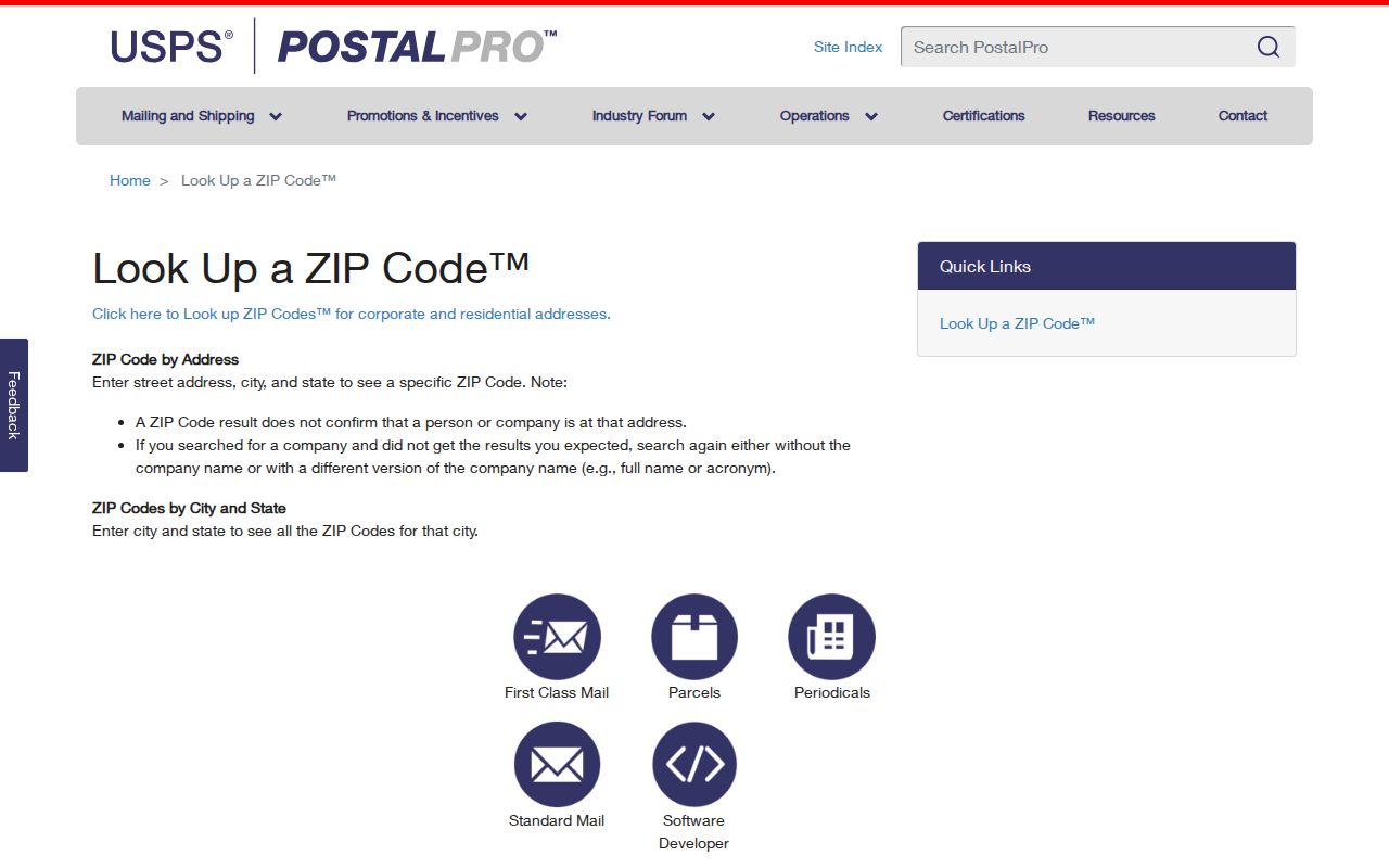
Use the city map for orientation, then use a parcel or annexation layer for government jurisdiction. This sequence matters around the north, southwest, and southeast edges, where postal labels and city limits need not align.
Fort Wayne ZIP Search Fields
Several official systems accept a ZIP field, but they answer different questions. A ZIP in INBiz filters organization filings. A ZIP in the Professional Licensing Agency search filters regulatory records. USPS returns the postal assignment for a known address. COMPS and PATI can display postal data tied to a parcel, though a ZIP-wide resident export should not be assumed.
| Portal | ZIP Input or Output | Useful Result | Limit |
|---|---|---|---|
| INBiz | Advanced ZIP filter | Entity, agent, status, filing address | Organization role, not household proof |
| PLA verification | ZIP search field | License name, profession, status | Regulatory address may not be a home |
| USPS lookup | Address input; ZIP output | Current standardized mailing code | Not a people directory |
| COMPS/PATI | Parcel postal fields | Owner and parcel context | Owner is not a household roster |
Keep the role label beside every name. A business officer, parcel owner, or license holder linked to 46802 answers a narrower question than who currently occupies an address.
Note: A ZIP-capable portal is useful only when its record purpose, update date, and geographic field are carried into the result.
Finding Residents Within One ZIP
There is no official public master list of all residents in a Fort Wayne ZIP. Build a narrow answer from the record type that fits the task. If the starting point is a property, search COMPS by address. If it is a business role, filter INBiz. If it is a professional license, use the PLA name and ZIP controls. For voter status, the public Indiana Voters page requires an exact name, birth date, and county rather than offering a ZIP browse.
Allen County voter data extracts use the VRG-24 process and a requester agreement. The public lookup is a status and polling tool, not a downloadable directory. Address Confidentiality Program records and protected election fields remain closed. Do not use a broad extract to reconstruct a protected address.
A good worksheet stores the full source URL, retrieval date, ZIP as shown, city label, parcel jurisdiction, and the person's role in the record. That prevents a postal match from being mistaken for present residence.
ZIP Codes Versus Fort Wayne Limits
A ZIP Code is a delivery construct. Fort Wayne's incorporated boundary is a legal municipal line, and Allen County parcel boundaries are land-record geometry. A Census ZCTA is a statistical approximation. These shapes can overlap without matching.
- ZIP Code
- A USPS code used to route mail.
- ZIP+4
- An added four digits that narrow a delivery segment.
- ZCTA
- A Census statistical area designed to approximate ZIP geography.
- Carrier route
- A postal delivery path that can cross neighborhood or civic lines.
- Unique ZIP
- A code assigned for a high-volume organization rather than a normal neighborhood area.
For permits, code cases, city services, or a public-record request, identify the parcel and agency first. A code at the city's edge might still route through Fort Wayne while the record belongs to a county office or another jurisdiction.
Fort Wayne Parcel Jurisdiction Check
The Allen County GIS and COMPS tools bridge postal and legal geography. Search the site address, select the correct parcel, and preserve the parcel identifier. Then review owner information, maps, neighborhood or voting layers, and the jurisdiction tied to the record. A parcel means a legally described tract of land; it is not the same as a mailing address or household.
The Allen County maps page provides the official route when the live viewer fails. City permit and code records can then be checked through Accela only after the jurisdiction is known. This avoids sending a Fort Wayne-labeled postal address to the wrong custodian.
Property ownership is also distinct from occupancy. A mailing address may belong to an owner, trustee, company, or tax representative. Do not turn a parcel result into a list of residents without another dated source.
Historic Fort Wayne ZIP Clues
Modern ZIP Codes should not be projected backward onto early directories. Fort Wayne's old directories and maps may use street names, route descriptions, or addresses that predate today's postal scheme. Later ZIP assignments can also be revised. The research found historical USPS bulletin and post-office sources useful for legacy 468xx questions, but no single complete local change table should be invented from them.
Pair the directory edition with a map from the same era. Then compare the old address to the current parcel, noting any annexation or postal change. A historical code is evidence about mail at that time. It is not a current assignment until USPS confirms it.
Fort Wayne ZIP Research Limits
ZIP-wide searching can expose more personal detail than a focused question needs. Use the smallest set of records that answers the lawful purpose. Do not scrape a portal, merge protected voter information, or publish a broad household compilation. Indiana's July 1, 2026 APRA changes permit added controls for automated and high-volume electronic access.
Commercial compilation services can mix old postal data, disconnected phone records, and inferred associates. Official sources are narrower but disclose their record purpose and custodian. Verify each result with USPS, the parcel system, or the agency responsible for the filing. Never use a missing result as proof that a person is absent from Fort Wayne.