Which Records Describe Fort Wayne Neighbors?
Official block records describe parcels, owners, boundaries, registrations, or dated directory entries. They do not form a live household roster. For Fort Wayne neighbors, choose the source that matches the question and keep its role visible in the notes.
| Source | What It Shows About a Block | Access |
|---|---|---|
| Allen County GIS viewer | Property lines, address points, subdivisions, associations, and incorporated areas | Free dynamic map |
| COMPS property records | Parcel, property address, owner field, sales, assessment, and map context | Free public portal |
| Indiana Voters | Registration status when exact personal details are supplied | Status check, not an address browse |
| Neighborhood organization sources | Association name, public contact, district, meeting, or project context | City pages, map, or group contact |
| ACPL cross-indexed directories | Past names listed at addresses for a dated edition | Library and local reference holdings |
A parcel result proves what the assessor system displayed on the access date. It does not prove that the named owner occupies the home or that the portal lists all Fort Wayne neighbors there. A voter status result likewise concerns one supplied person, while an old criss-cross entry captures one publication's observation.
Use the Allen County Map as a Small-Block Tool
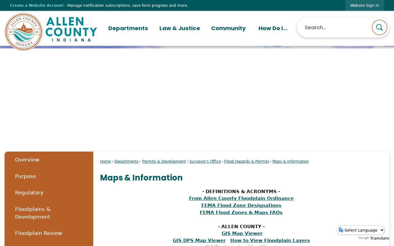
The Allen County GIS viewer includes Property Lines, Address Points, Neighborhood Associations, Incorporated Areas, Subdivisions, Parks, and Historic Districts. Its selection controls can clear, switch, select, zoom, or remove rows. That makes it possible to define the subject parcel and its immediate edges instead of exporting a whole district.
Write down each selected PIN and street number before opening COMPS. Address points can reflect an entrance or mapped location and may not sit where a reader expects. Parcels may touch across an alley, side lot, or rear boundary. Legal descriptions and parcel geometry are more reliable than judging adjacency from the screen alone.
Small-block rule. Select the subject parcel and only the immediately adjoining lots, document the access date and layers, then stop.
Map a Fort Wayne Block from One Address
The parcel-first process separates map facts from assumptions about people. Start with a known Fort Wayne address, inspect the surrounding geometry, and move from each PIN to its own dated property record.
- Find the subject address and turn on property lines and address points.
- Select only parcels sharing a visible edge, alley, or immediate street face.
- Record the PIN, situs address, legal description, and map access date for each lot.
- Open each result in COMPS and distinguish owner information from the physical property address.
- Use the Recorder only when a deed party or transfer matters, then preserve the instrument citation.
COMPS exposes Property Information, Assessment Information, Owner Information, Voting Information, and Property Images in separate areas. Historical aerials from 1938 through 2021 may show lot or building changes, but they do not identify residents. For a full named-street chain rather than the immediate block, use the Fort Wayne street directory workflow.
Fort Wayne Neighborhood Names Add Context, Not Membership
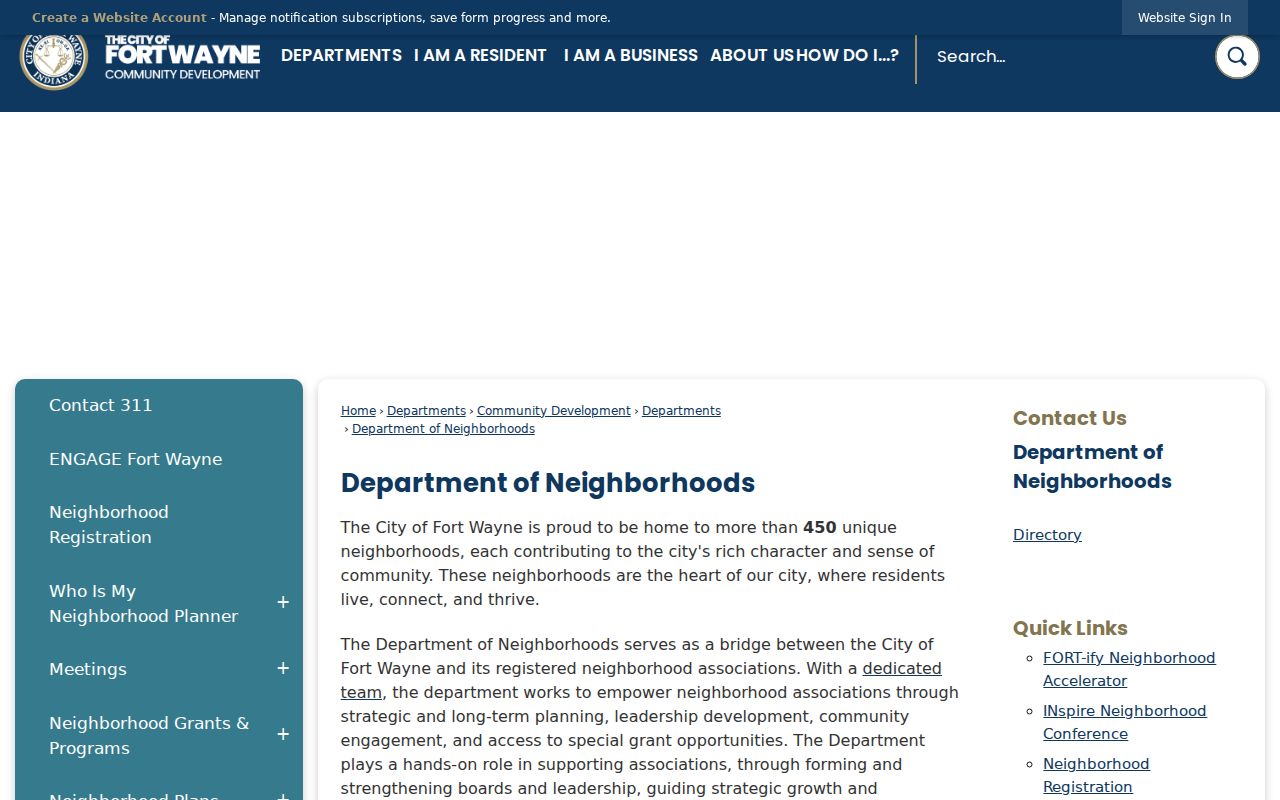
The Fort Wayne Department of Neighborhoods reports more than 450 unique neighborhoods and supports planning, boards, grants, registration, and Engage Fort Wayne. The city council map and GIS association layer name areas such as North Pointe Woods, Pine Valley, Williams-Woodland Park, West Central, Historic South Wayne, Foster Park, Southwood Park, West Rudisill, and South Calhoun.
| Local source | Useful block context | Important limit |
|---|---|---|
| Department of Neighborhoods | Programs, registration, public contacts, and engagement routes | A city relationship does not identify private members |
| 2020-2030 City Council map | Named association and council geography | Map labels are dated and not household proof |
| GIS association layer | Visual comparison with parcels and incorporated areas | Boundaries can differ from ZIPs, subdivisions, or districts |
| Historic preservation sources | Northside, Southwood Park, West Central, Williams-Woodland Park, and other public context | Historic status does not name current neighbors |
Association directories in ACGSI holdings are edition-specific snapshots. Examples include Lincolnshire 1979, Pine Valley 1984, Indian Village 2000-04, Covington Creek 2004, Lakes of Buckingham 2015, and North Pointe Woods 2024. Check whether a volume lists members, officers, or only a public contact before drawing any conclusion.
The Department of Neighborhoods is the official starting point for Fort Wayne community context.
The Three-River Numbering Clue for Fort Wayne Neighbors
Fort Wayne Code section 99.111 uses the St. Mary's and Maumee Rivers and Calhoun Street as numbering reference points. Numbers generally advance by one hundred per block. North-south streets start at the rivers, while east-west streets run from Calhoun. Odd and even sides depend on the direction and side of Calhoun.
This local grid can place a block when an older source gives only a nearby intersection. It does not solve rural routes, annexed land, renamed streets, or every practical adjustment made by the City Engineer. Pair the rule with a period map and current parcel geometry. Fort Wayne's late-1890s to early-1900s renumbering also means historic neighbors need a directory and map from the same year.
Official Rolls and Commercial Neighbor Tools Differ
Official sources are narrower but clearer about record type. COMPS identifies a parcel and owner field; the Recorder identifies recorded parties; Indiana Voters checks a supplied person's status; a city directory records a dated listing. Commercial compilation tools may blend old addresses, relatives, phones, and other data without showing when or why the match was made.
Official local records
Best for a defined fact with a custodian, date, field label, and correction route. Several sources may be needed to understand one block.
Commercial compilations
May be broad or quick, but can merge people, preserve stale addresses, hide source dates, or charge before showing useful detail.
For Fort Wayne neighbors, the safer conclusion stays close to the official field: "shown as owner on the accessed parcel record" or "listed at this address in the dated directory." Never turn those phrases into a claim about every person now in a home.
Privacy Limits for Fort Wayne Neighbor Research
Public access does not make every use appropriate. Indiana's Address Confidentiality Program can protect qualifying participants through a substitute mailing address and voter-record safeguards. Court, vital, juvenile, adoption, and motor-vehicle information have separate limits. A public voter page is a personal status check, not a street-wide browse, and the separate VRG-24 data-request path carries its own restrictions.
Indiana's July 1, 2026 APRA changes add controls for electronic portals, high-volume activity, residency or identity checks, supplemental charges, and suspected scraping. A focused block question is easier to explain and less likely to create a harmful new compilation. If a GIS layer, live portal, or association file does not expose a field, preserve that gap rather than filling it from an uncertain source.
Lawful use. Research Fort Wayne neighbors for civic, personal, or family purposes only. Do not use a block record to watch, harass, intimidate, or expose anyone.
Keep a Reproducible Fort Wayne Block Note
A useful note records the subject address, each adjacent PIN, the layers switched on, access date, and the exact field supporting each statement. Add an association or district label only with its source and map date. If a permit or code matter is relevant, use Accela or the city's address-based code lookup and save the case number. An applicant or case party is not automatically a neighbor or occupant.
For a historical block, hold the date steady. Use a directory edition, a map from the same period, and a public census or newspaper source close to that year. The State Library owner and business maps and the Library of Congress Sanborn sheets can bridge an old intersection to a modern parcel. The result should explain the block's physical and civic setting without publishing a broad personal-address list.
The Allen County maps page points to GIS and map resources for a focused parcel comparison.